


16/02/2026: Trail Update – Post Weather Event
Following the weekend’s weather event, we have been out assessing conditions across the Waikato River Trails network.
The Arapuni section of trail from Waipapa Dam to the Mangarewa Bridge is CLOSED due to significant slips and pieces of trail missing throughout this section and will remain closed until further notice.
We are continuing to work through the remaining sections and will provide further updates as assessments are completed.
*********************************************************************************************
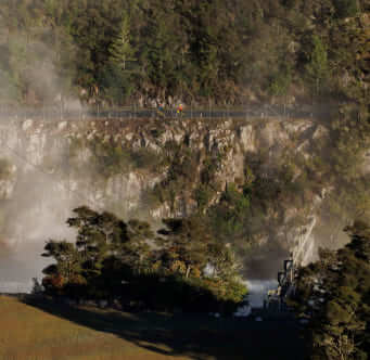
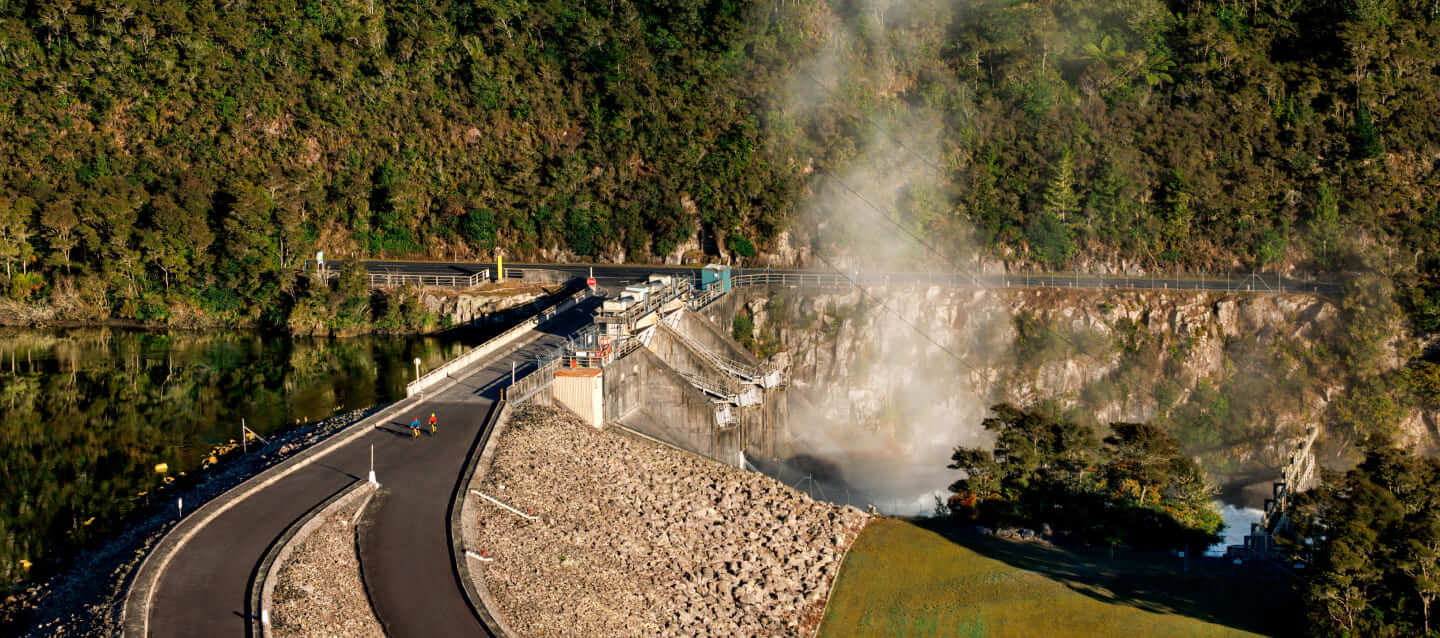
The Arapuni Trail begins at the Waipapa Power Station, nestled alongside dramatic sandstone cliffs. Before embarking on the trail have a wander around the Waipapa Dam that is one of the few dams with public access available – and enjoy the spectacular river views.